
16-Jul-2025
Machilipatnam Port – Andhra Pradesh
Miscellaneous
Why in News?
Machilipatnam Port, Andhra Pradesh, was once a prominent ancient port city. It is now undergoing a major revival with the construction of a Greenfield port, expected to become operational by the end of 2026.
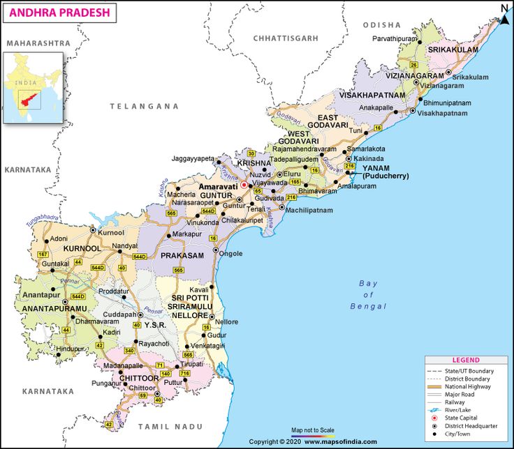
About Andhra Pradesh
Location & Boundaries
- Located in the southeastern part of India, along the Bay of Bengal.
- Land Borders,
- North: Odisha and Chhattisgarh
- West: Telangana
- South: Tamil Nadu
- East: Bay of Bengal (coastline)
Geography & Climate
- Climate: Tropical; hot and humid summers, with moderate monsoon and mild winters
- Highest Peak: Arma Konda (in the Eastern Ghats)
- Major Rivers: Godavari, Krishna, Penna, Vamsadhara, Nagavali
Capital: Amaravati (legislative); Visakhapatnam is proposed executive capital
Currency: Indian Rupee (INR)
Natural Resources
- Rich in bauxite, limestone, granite, and barytes
- Fertile plains support agriculture—especially rice, sugarcane, and cotton
- Coastal resources include fisheries and aquaculture
Historical Highlights
- Once part of the ancient Satavahana and Vijayanagara Empires.
- Played a significant role in the freedom movement and formation of linguistic states.
- Formed as a separate state in 1956 on a linguistic basis; bifurcated in 2014 to create Telangana.
Preparing Through MCQ
Q. Which of the following rivers does NOT flow through Andhra Pradesh?
(1) Godavari
(2) Krishna
(3) Penna
(4) Narmada
Answer: (4) Narmada